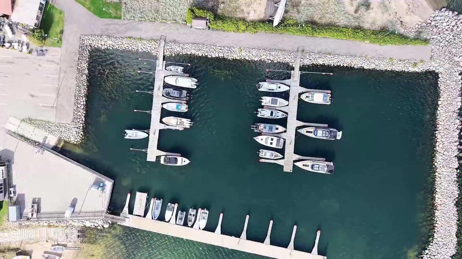
From the Baltic to the Atlantic
Find your next harbour.
Check published services and arrival information before your next coastal stop.
Find a harbour
Choose a coastline
Start with the coast you want to explore.
Explore these harbours
Start with published services and vessel limits. Check each harbour before travelling.
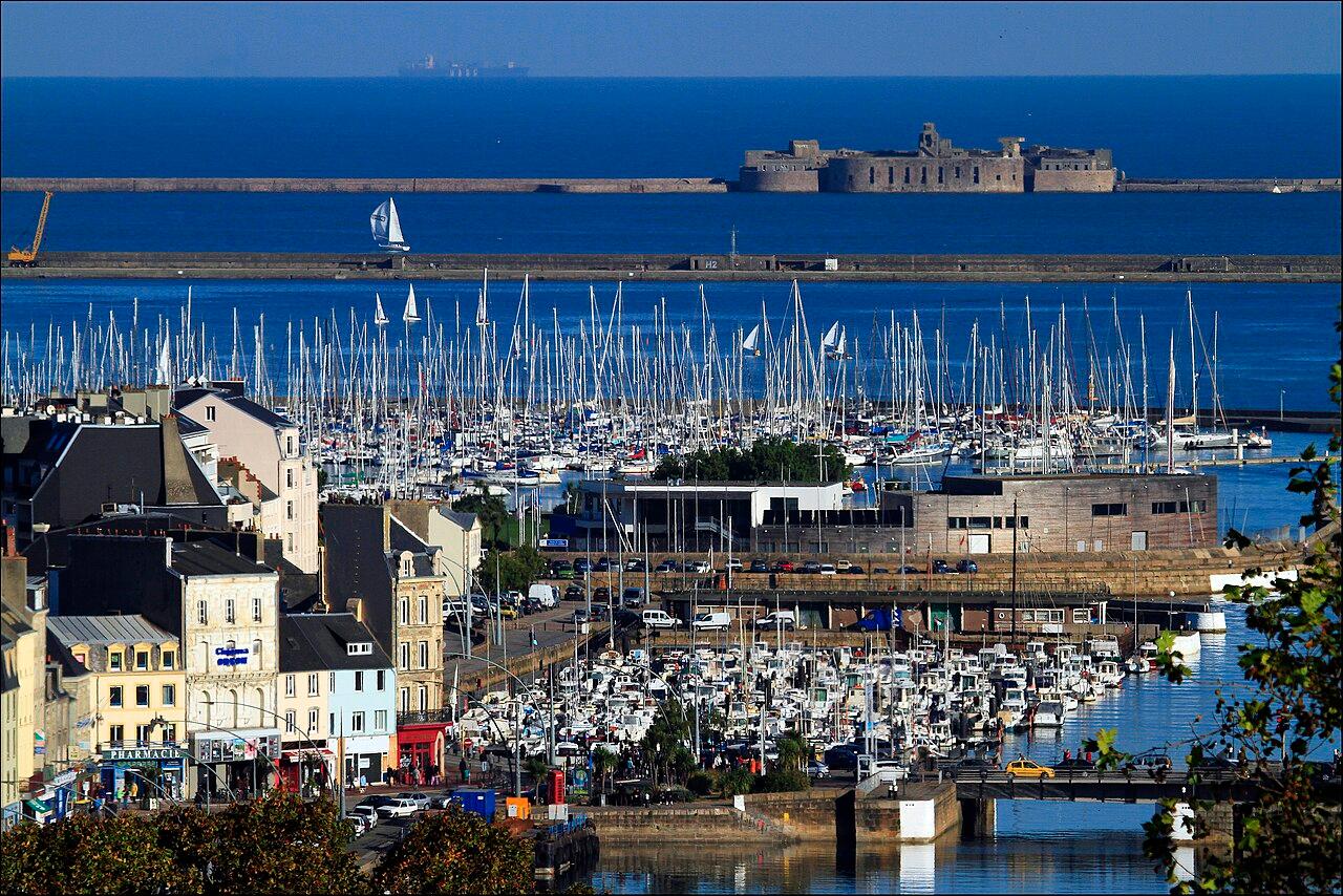

Browse by country
Explore 3,781 harbours across Europe's coasts.
Find something to do
Mission of the week
Help fill in the berth counts for Harju county and Tallinn
Some harbour pages in Harju county and Tallinn still have no berth count. If you have moored there or know the place well, share what you know. A moderator reads every suggestion before it appears on the site.
24 harbours need help
Why it matters: Knowing roughly how many berths a harbour has helps a visiting crew think ahead about where to spend the night while planning next season.
Only reviewed contributions that change a harbour's page count.
This week's task runs on mervare.ee. No account needed to take part.
Choose a country to explore available games and local activities.
For boat owners
Your connected boat
Check batteries, shore power and the bilge while you're away, see wind, depth and position while you sail, and look back at the trip afterwards — from the equipment already on board.
Run a marina?
Manage berth requests, guest bookings and payments in one place. See how it works in a demo.
About Mervare for marinas →Explore the Mervare demo
Cards here show a sample berth layout, availability and booking flow — not confirmed operational information.
Real harbours on Mervare.io
These link to a real, sourced harbour profile — not a Mervare demo. No sample booking flow.
About the harbour information
Information varies by harbour. A map location alone does not confirm services, safe access or permission to stay overnight.
Coverage from a national register carries surveyed depths, permitted vessel size and services. Coverage from OpenStreetMap carries a name and a position, and says nothing beyond that — no depth, no berth count, no opening hours. We would rather show you that a harbour exists than pretend to know how deep it is.
Change the interface language above. Some deeper source excerpts, including sailing directions, may remain in their original language; check the official source before navigating.